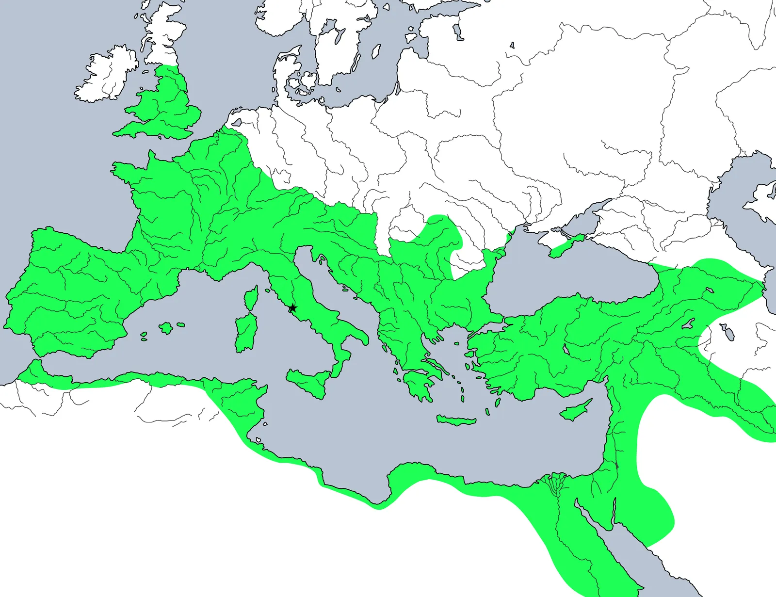
By the second century CE the Roman Empire encircled the entire Mediterranean — mare nostrum, 'our sea' — and reached from the Atlantic coast and Britain in the north-west to the Euphrates and, briefly, Mesopotamia in the east. It was the largest and most enduring empire of the ancient West.
Its frontiers (the limes) ran along great rivers and fortified lines — the Rhine, the Danube, Hadrian's Wall in Britain — marking where the policy of expansion gave way, under Hadrian, to one of consolidation. Within them, a common law, a network of roads, and (increasingly) a common citizenship bound a vast diversity of peoples into a single order.
Key locations
- Rome — The capital and heart of the empire.
- Hadrian's Wall — The fortified frontier across northern Britain.
- The Rhine–Danube frontier — The great river frontier in Europe.
- Alexandria — The second city of the empire and Egypt's capital.
- Constantinople — Founded 330 CE; later capital of the eastern empire.