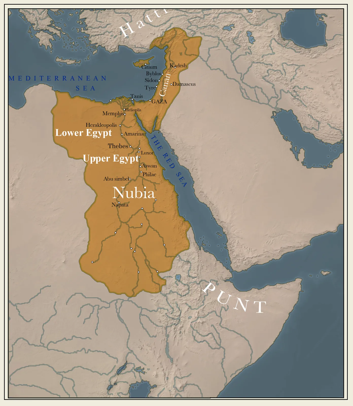
Ancient Egypt was the gift of the Nile — a narrow ribbon of fertile land along the river, walled by desert, running from the Delta in the north to the cataracts in the south. This geography gave Egypt both its wealth (the reliable annual flood) and its security (the surrounding deserts), the foundations of its extraordinary endurance.
At the height of the New Kingdom, shown here, Egypt was also an empire, its power reaching south into Nubia and north into the Levant as far as the Euphrates, where it met the Hittites at Kadesh. The great religious and royal centres clustered along the river — Memphis in the north, Thebes and the temples of Karnak and Luxor in the south.
Key locations
- Memphis — The Old Kingdom capital, near the apex of the Delta.
- Thebes (Luxor) — The New Kingdom religious capital; Karnak and the Valley of the Kings.
- Giza — Site of the Great Pyramid and the Sphinx.
- Amarna — Akhenaten's short-lived capital of the Aten.
- Nubia — The land to the south, conquered and exploited for gold.